Communities
Buying & Selling
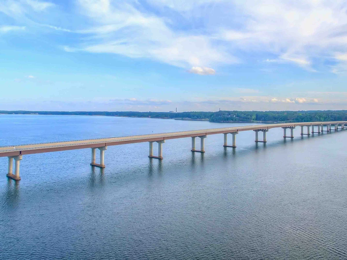
Buggs Island Lake and Kerr Lake are the same water. The U.S. Army Corps of Engineers built the John H. Kerr Reservoir in the 1950s for flood control and hydropower. Virginians named it for Buggs Island, near the dam. The lake covers about 50,000 acres, and its shoreline runs through Mecklenburg, Halifax and Charlotte counties in Virginia and Granville, Vance and Warren counties in North Carolina.
Most Virginia-side buying happens around Clarksville, Boydton and Buffalo Junction. The options include lake-community homes, condos at The Moorings, in-town homes and wooded lots. The lake is known for largemouth and striped bass, and Virginia and North Carolina fishing licenses are both honored on all reservoir waters (USACE). Public access includes Occoneechee State Park near Clarksville and USACE recreation areas.
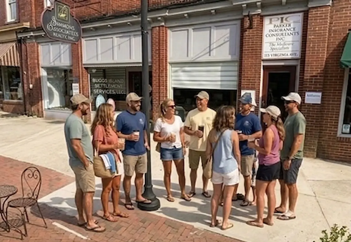
Official information on Buggs Island Lake (Kerr Lake): the U.S. Army Corps of Engineers, which manages the reservoir and its shoreline, and Occoneechee State Park near Clarksville.
Shoreline Management PlanActive homes and land around Buggs Island Lake.
Yes. Both names refer to the John H. Kerr Reservoir.
About 48,900–50,000 acres, with roughly 800–900 miles of shoreline, depending on the USACE source.
The U.S. Army Corps of Engineers. Docks and clearing need USACE permits.
Clarksville is the lakeside town, and Boydton and Buffalo Junction are nearby in Mecklenburg County.
Either a Virginia or a North Carolina license is valid on all reservoir waters.
Say Hello
We’re here to help you buy, sell, or find your place on the water. Call, text, or send a message — we answer.
Stay Updated