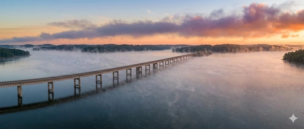
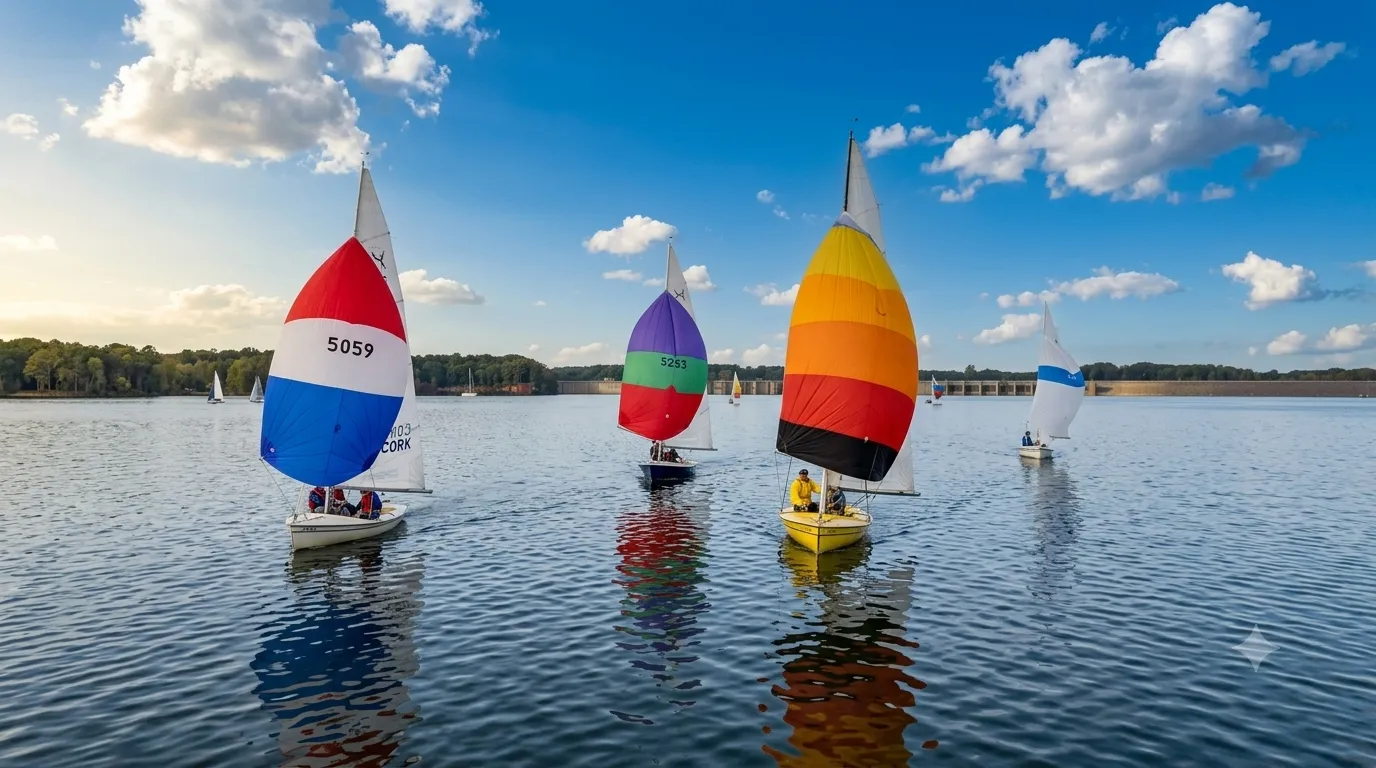
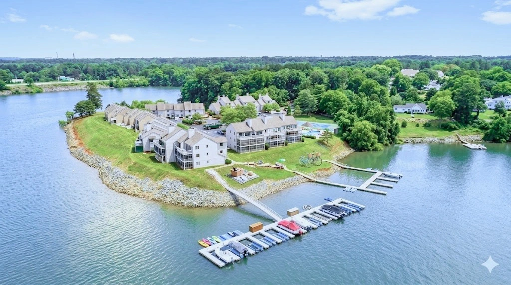
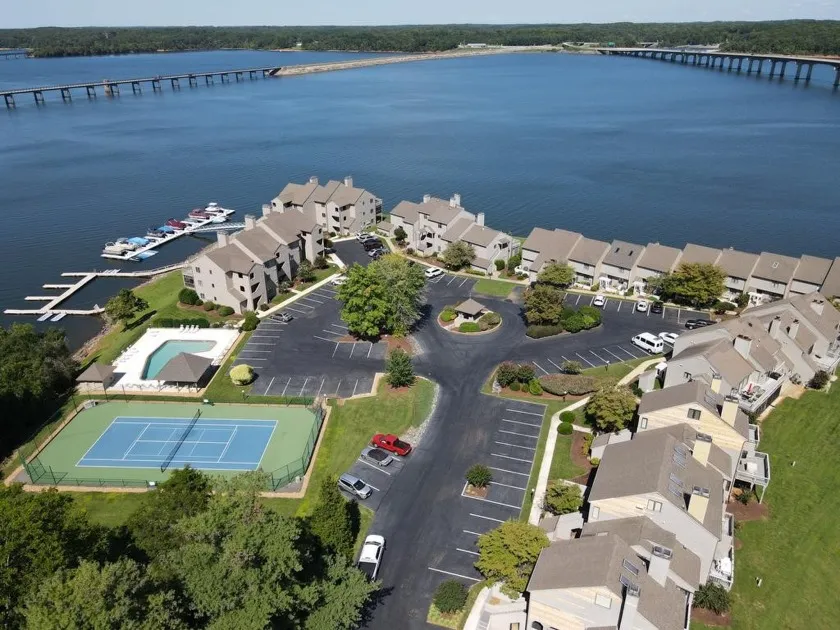
Kerr Lake sits on federal land managed by the U.S. Army Corps of Engineers, and that shapes waterfront ownership here more than most buyers — and owners — expect. Here's what that means in practice, with links to the Corps' own resources for anything specific to your property.
Kerr Lake or Buggs Island Lake — which name is correct?
Both are. The reservoir's official name is the John H. Kerr Reservoir. Virginia listings and maps generally call it Kerr Lake, while North Carolina — and the lake's own history — knows it as Buggs Island Lake, a name that predates the dam by generations, taken from a small island that once belonged to descendants of a landowner named Samuel Bugg. If you hear both names for the same lake, that's why.
Does the Corps of Engineers control the shoreline here?
Yes. Kerr Lake sits on federal land managed by the U.S. Army Corps of Engineers, which also marks a project boundary around the reservoir, generally at or near the 320-foot elevation above sea level. That boundary defines the outer edge of federally managed land — it's a USACE project marking, not a substitute for a deed, survey, or recorded plat. Confirming exactly where it runs on a specific parcel is a question for that property's survey and the Corps, not something a general overview like this can settle.
Does waterfront automatically mean I can put in a dock?
No. Waterfront doesn't automatically mean dock-eligible. Whether a dock or other shoreline facility may be authorized depends on the specific location, existing authorizations, applicable USACE shoreline-management requirements, and property-specific review. The Corps' Shoreline Ranger evaluates each site individually against the John H. Kerr Shoreline Management Plan, and written approval is required before any work begins.
What if the property already has a dock or other shoreline structure on it?
Don't assume it's authorized to stay just because it's already there. The reliable way to know a specific structure's status is the actual USACE permit or file for that property, confirmed directly with the shoreline ranger — not a general assumption based on similar properties nearby or how long something has stood.
I just closed on waterfront property here — what do I need to do?
USACE currently instructs purchasers of property adjacent to Kerr Reservoir to contact their designated shoreline ranger within 14 days of closing regarding shoreline-use authorization and change-of-ownership requirements. Property-specific authorization remains subject to USACE review — reaching out to the ranger starts that review, it doesn't transfer, continue, or guarantee any dock eligibility or prior authorization tied to the property. The Corps' Visitor Assistance Center can be reached at (434) 738-6143 or JHKERR@usace.army.mil.
Can I clear brush or modify the shoreline myself?
Not without checking first. Vegetation modification and other shoreline improvements on Corps-managed land generally require USACE authorization — the same rulebook that governs docks applies here. This isn't a full rundown of what's allowed; it's a heads-up to ask the shoreline ranger before clearing, grading, or building anything near the water, rather than finding out afterward that it needed a permit.
Why does the lake level change through the year, and does it affect my dock?
Kerr Lake is a flood-control reservoir first and a recreation lake second, and the Corps manages its level accordingly — generally holding a higher summer guide level (around 299.5 ft MSL) through boating season and drawing down toward a lower winter guide level (around 295.5 ft MSL) to open flood-storage capacity before spring rains. Treat these as guide/operating targets, not guaranteed actual levels — actual reservoir levels vary with operations, weather, inflows, flood-control needs, and other system conditions. They're also lake-wide figures, not a promise about any one shoreline: actual water depth, navigability, and dock usability at a specific property depend on that property's cove depth, sedimentation, and bottom conditions, which vary across the lake. Check current conditions directly through the Corps' own water management data, and ask about a specific property's shoreline directly, rather than assuming year-round depth or access.
Waterfront, water access, or water view — what's actually the difference?
They get used loosely, and the difference matters. Waterfront means the property line meets the water — generally the starting point for applying for a private dock permit, subject to everything above. Water access usually means a shared or deeded right to reach the lake, often through a community ramp, easement, or slip, without owning frontage yourself. Water view means a sightline to the lake and nothing more — no frontage, no guaranteed access. The distinction affects price, what you're allowed to build, and how a lender or appraiser classifies the property. For the deeper due-diligence version of this — including the property-specific questions to ask before you make an offer — see our Kerr Lake buying guide.
Before making an offer on Kerr Lake waterfront, these are the items worth verifying for this specific property, not the lake in general:
Our full buyer's due-diligence guide goes further into how to work through this list in an actual transaction, and listings are always changing.
.png)